
Nissequogue Litigation Statement
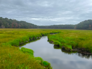
The failed Stump Pond Dam in Blydenburgh County Park presents an opportunity to restore the ecological health of the Nissequogue River.
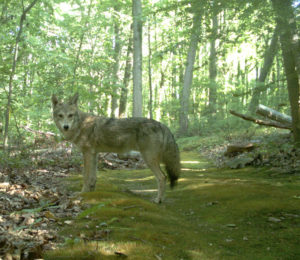
Coyotes
Coyotes Coyotes on Long Island: Background The following videos, from presentations made by Gotham Coyote founders Mark Weckel and Chris Nagy at the 2015 Long Island Natural History Conference, (while already slightly outdated) provide excellent background about how coyotes arrived in our
LI Natural History Conference
The 2024 LINHC will be held on Friday, April 12 from 9 am to 4 pm and on Saturday, April 12 from 9 am to 4 pm at Brookhaven National Lab located in Upton, NY. Public registrations opens on February 6th