
2026 LI Natural History Conference
The 2026 Long Island Natural History Conference will be held on February 27 at Stony Brook University. Click for details.
Other Citizen Science Opportunities
Other Opportunities Additional Community Science Opportunities Community Science LI 2021 Seatuck and our partners at Long Island Sound Study, New York Sea Grant, South Shore Estuary Reserve, and Peconic Estuary Partnership would like to announce an exciting new educational monthly webinar series titled, Community Science LI. Community
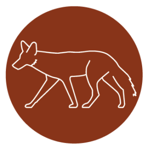
Coyote Tracker
Coyote Tracker is a community science project that engages Long Islanders in the effort to monitor the colonization of our region by Eastern Coyotes.